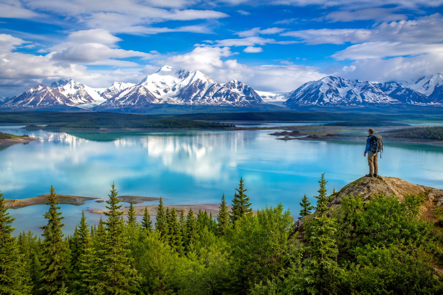
Alaska is so vast that maps, which often shrink it, fail to convey its scale. Here are ten facts that help put America’s largest state in perspective.
1. It is bigger than the next three states combined
Alaska is larger than Texas, California and Montana put together, covering more than 660,000 square miles.
2. It has the most coastline of any state
Alaska’s coastline is longer than that of all the other states combined.
3. It contains the highest peak in North America
Denali rises to about 20,310 feet, the tallest mountain on the continent.
4. It has an enormous number of glaciers
The state has tens of thousands of glaciers, covering a substantial portion of its land.
5. The sun behaves strangely here
In far northern towns like Utqiagvik, the sun does not set for weeks in summer and does not rise for weeks in winter.
6. It was purchased for about two cents an acre
The United States bought Alaska from Russia in 1867 for $7.2 million, a deal once mocked as “Seward’s Folly.”
7. It has very few roads
Many Alaskan communities, including the capital, Juneau, cannot be reached by road and are accessible only by plane or boat.
8. It is closer to Russia than you might think
At the narrowest point of the Bering Strait, Alaska and Russia are only a few miles apart.
9. It has more than three million lakes
The state is dotted with millions of lakes, most of them unnamed.
10. Residents get paid to live there
Through the Permanent Fund, Alaska distributes an annual dividend from oil revenues to eligible residents.
Alaska defies easy comprehension. Its scale, wildness and extremes make it unlike any other place in the country.