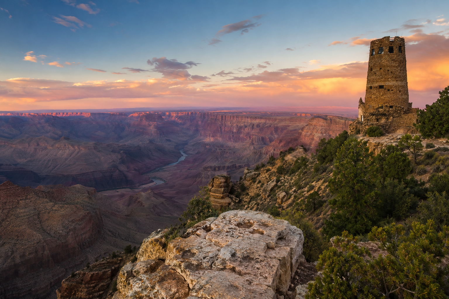
Arizona rewards the patient driver. The distances are big, the scenery shifts from saguaro desert to alpine forest in a single afternoon, and the best moments often happen between the famous stops. This itinerary covers the classic loop in about seven days, starting and ending in Phoenix.
Day 1–2: Phoenix and the Sonoran Desert
Begin in Phoenix, the state capital and the easiest airport to fly into. Spend your first morning at the Desert Botanical Garden, where the saguaro, prickly pear and ocotillo make sense of the landscape you are about to cross. If you visit between November and April you will get comfortable daytime temperatures; in summer, plan desert activities for early morning only — afternoon highs regularly pass 105°F (40°C).
From Phoenix, it is a short drive to Scottsdale for its Old Town and a longer one to the mining town of Superior, a good first taste of Arizona’s boom-and-bust history.
Day 3: Sedona’s Red Rock Country
Drive north about two hours to Sedona. The red sandstone formations here — Cathedral Rock, Bell Rock, Devil’s Bridge — are the most photographed in the state for good reason. Hike early: trailhead parking fills by 9 a.m. on weekends. A Red Rock Pass is required for many parking areas and costs only a few dollars per day; buy it at the visitor center or self-pay stations.
Take the scenic route out of town through Oak Creek Canyon, a winding road that climbs through forest beside a cold mountain stream. The switchback overlook at the top is worth the stop.
Day 4: Flagstaff and Route 66
Flagstaff sits at 7,000 feet, surrounded by the largest contiguous ponderosa pine forest in the country. It is cool, walkable and full of history — this is genuine Route 66 territory. Visit Lowell Observatory, where Pluto was discovered in 1930, and walk the brick downtown in the evening. Flagstaff also makes the best base for the Grand Canyon’s South Rim.
Day 5: Grand Canyon South Rim
The South Rim is open year-round and is where most first-time visitors should go. Arrive early, park once, and use the free shuttle along Hermit Road, which is closed to private cars for much of the year. Walk a portion of the Rim Trail rather than only stopping at viewpoints — the canyon changes character every few hundred yards. If you want to descend, the Bright Angel Trail offers turnaround points at 1.5 and 3 miles; remember that going down is optional but coming back up is not, and the climb is strenuous.
Day 6: Navajo Country and Antelope Canyon
East of the Grand Canyon, the landscape opens into the vast Navajo Nation. Near the town of Page you can tour Antelope Canyon, a slot canyon whose sculpted walls glow when light filters in from above. Tours are required and run by Navajo guides; book ahead, especially from spring through fall. Nearby Horseshoe Bend offers a famous overlook of the Colorado River from a short, sandy trail.
Day 7: The Drive Back
Loop south through the high desert toward Phoenix, optionally detouring to Montezuma Castle, a remarkably preserved cliff dwelling built by the Sinagua people more than 600 years ago.
Practical Tips
- Fuel up often. Stretches between towns can run 60+ miles with no services.
- Carry water. A gallon per person per day is sensible in summer.
- Respect tribal land. Photography rules and permits differ on the Navajo and Hopi nations.
- Mind the elevation. You may go from 1,000 to 7,000 feet in one day; take altitude seriously if you are hiking.
Arizona is best taken slowly. Build in unplanned hours, because the pull-off with no name is often the view you remember most.